Mapping Meaning: 2012
MAPPING MEANING: 2012
https://www.uvu.edu/crfs/
Source:
Carmina Sánchez-del-Valle
Photo: Vasia Markides
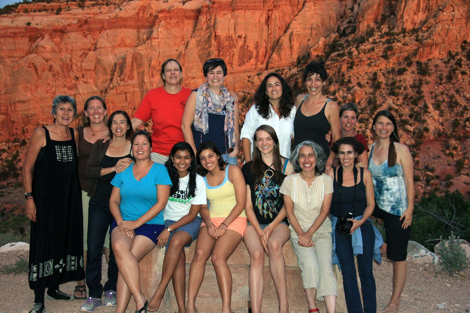
Photo: Melissa K. Nelson
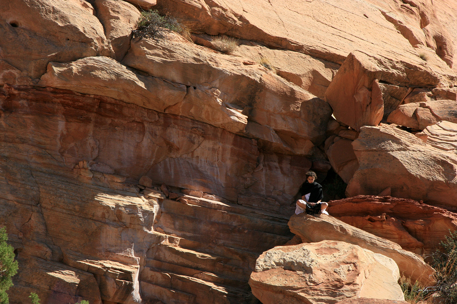
Rosa Maria Palacios, an Afro-Indian Ecuadorian (1893—1940) travelled on mule and by foot from the highlands of El Valle de Chota to the coastal metropolis of Guayaquil to work as a domestic for a wealthy family in 1906. Re-mapping the geospatial dynamics of her journey from Ecuador to the Utah desert, I will extend my genetic connection to her in defiance of the boundaries of time and space.
Photo: Melissa K. Nelson
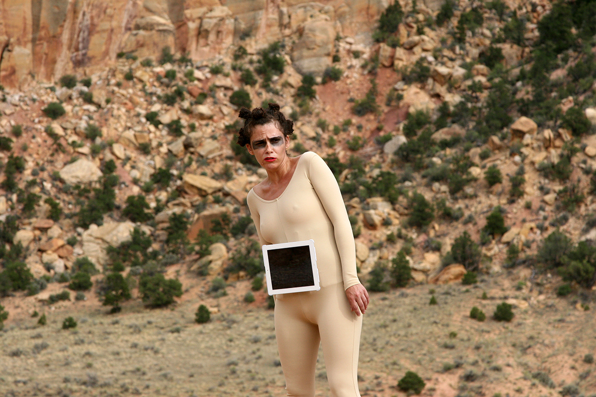
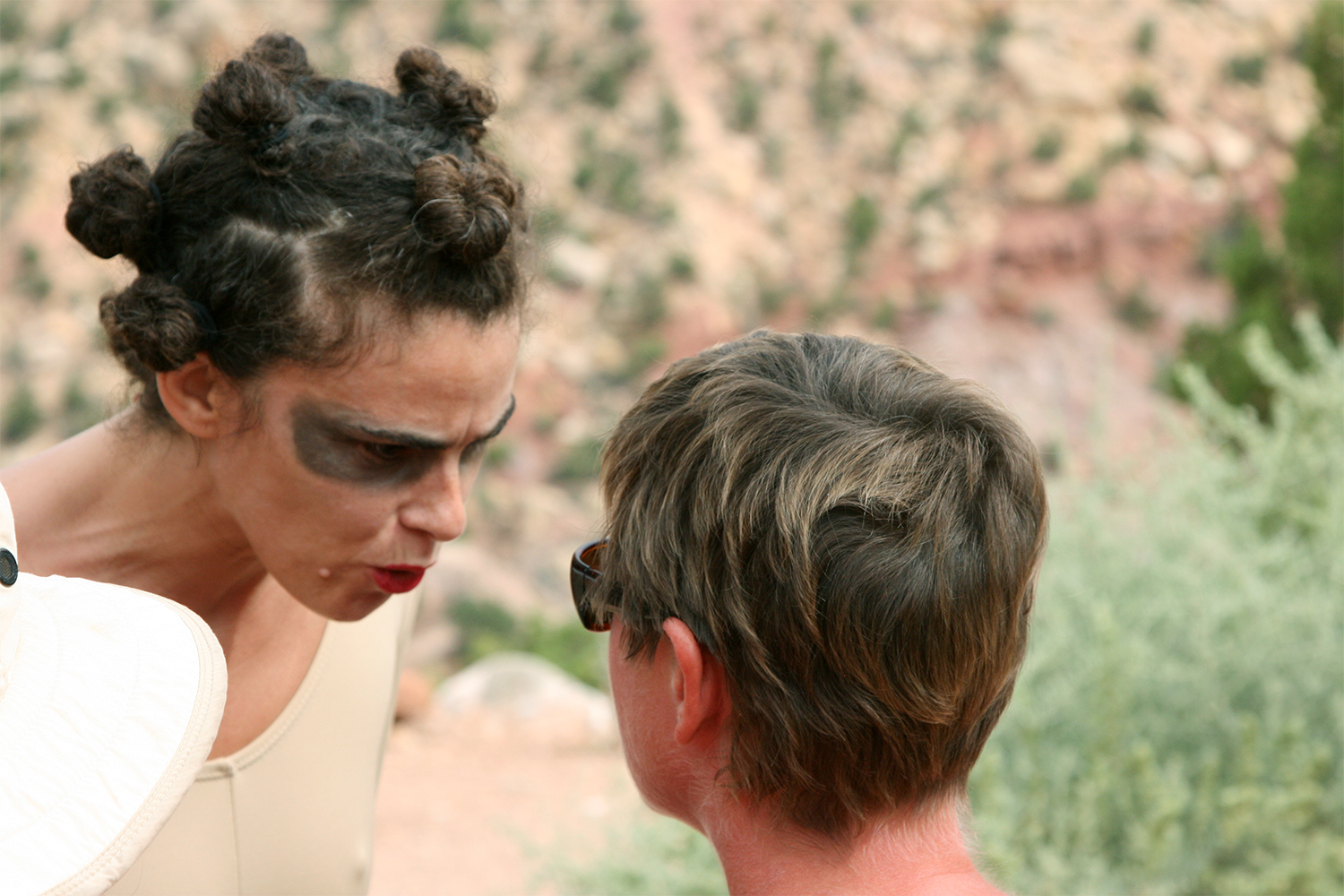
A time traveler, nostalgic for a pre-apocalyptic present, lands in Capitol Reef National Park, Utah. Rather than tell tales from the future, this bipedal, hermaphroditic life form reminisces by singing a song—“Miseria”—by Los Panchos (1949). The song will be sung in its native Spanish, while subtitles and abstract landscapes roll across the embedded screen in the time traveler’s chest. Rather than try to represent the unimaginable I will don a second-skin like costume evocative of low budget science fiction films from the past.
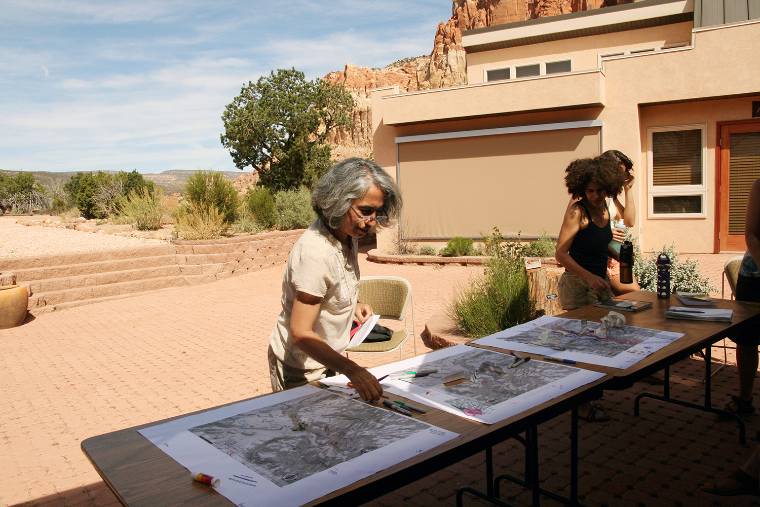
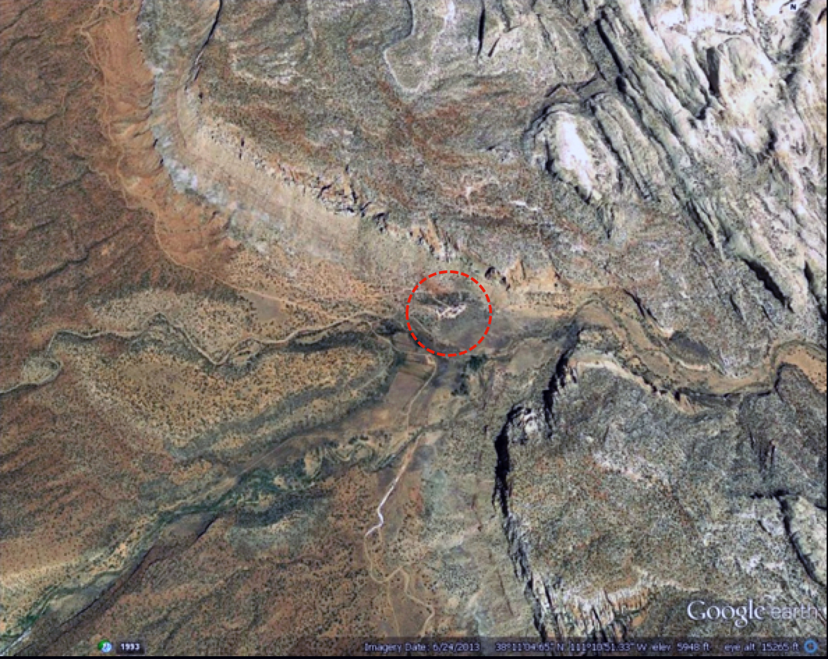
A large printed map covering a one-mile radius area, using the field station as the center, was provided the first day of the workshop. In an urban setting a mile corresponds to a twenty-minute walk. Participants were asked to draw, doodle, and write on the map defining the spaces and places they visited during Mapping Meaning. The intent was to coalesce into one map the different paths, perspectives, and levels of engagement with the earth.
The collaborative mapping effort requires challenging the representational conventions developed for the built environment. In the end we recognize we are always in the map of our own making.
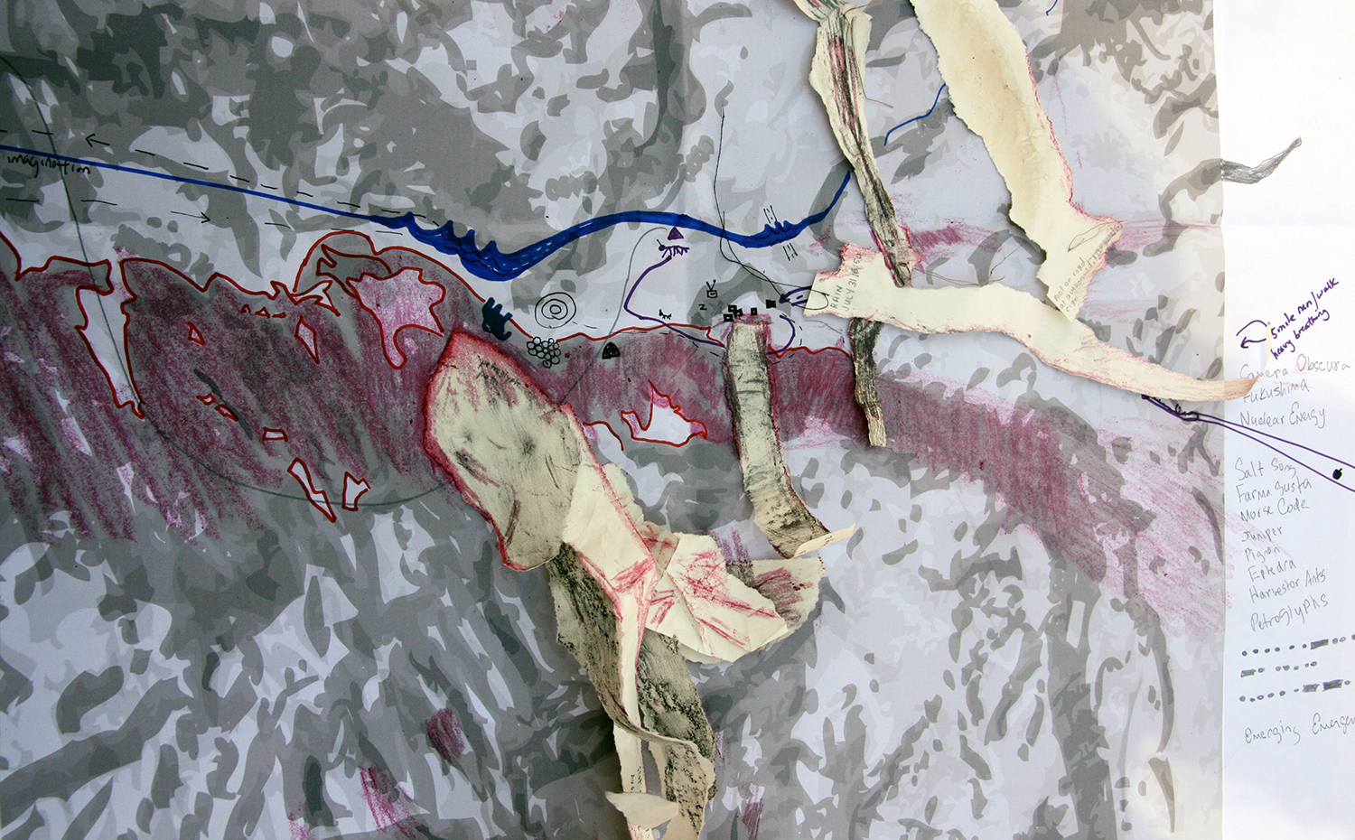
Collective Map Detail
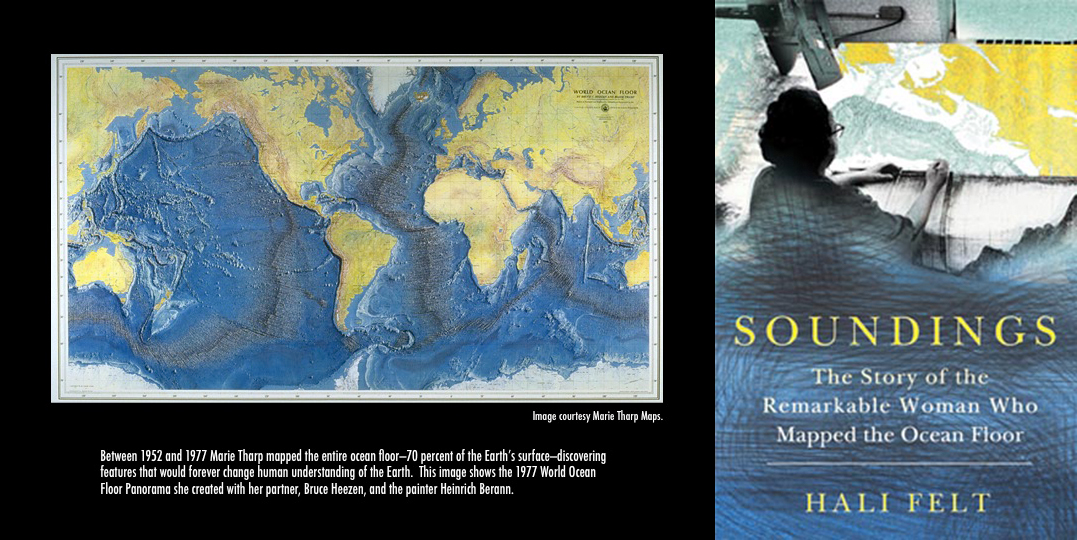
Her maps of the ocean floor have been called “one of the most remarkable achievements in modern cartography”, yet no one knows her name.
This session will be part presentation and part discussion, beginning with a short talk on Marie Tharp and how my own outsider status (as a creative writer looking at the history and culture of science) allowed me to make new conclusions about the import of Tharp’s work and the extent to which it influenced the practice of Earth science in the second half of the twentieth century. We will end with a group discussion about how being a non-expert—or even being ignorant—at the beginning of a project can often lead to exciting discoveries and conclusions.
Photo: Melissa K. Nelson
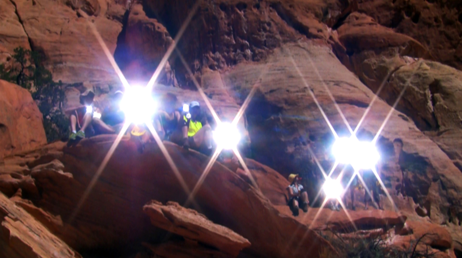
Necessities for any survival kit, mirrors are carried for both military and civilian use while in wilderness environments. In an emergency situation flashes of sunlight signal distress and have the ability to communicate across great distance. Depending upon weather conditions these flashes can be visible up to 50 miles away with the record rescue being 105 miles. These particular signal mirrors were collected from a variety of online sites and included everything from WWII military issued mirrors to wilderness survival and campfire mirrors.
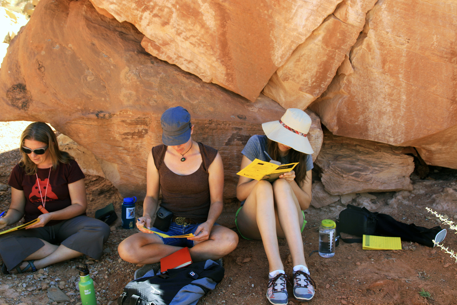
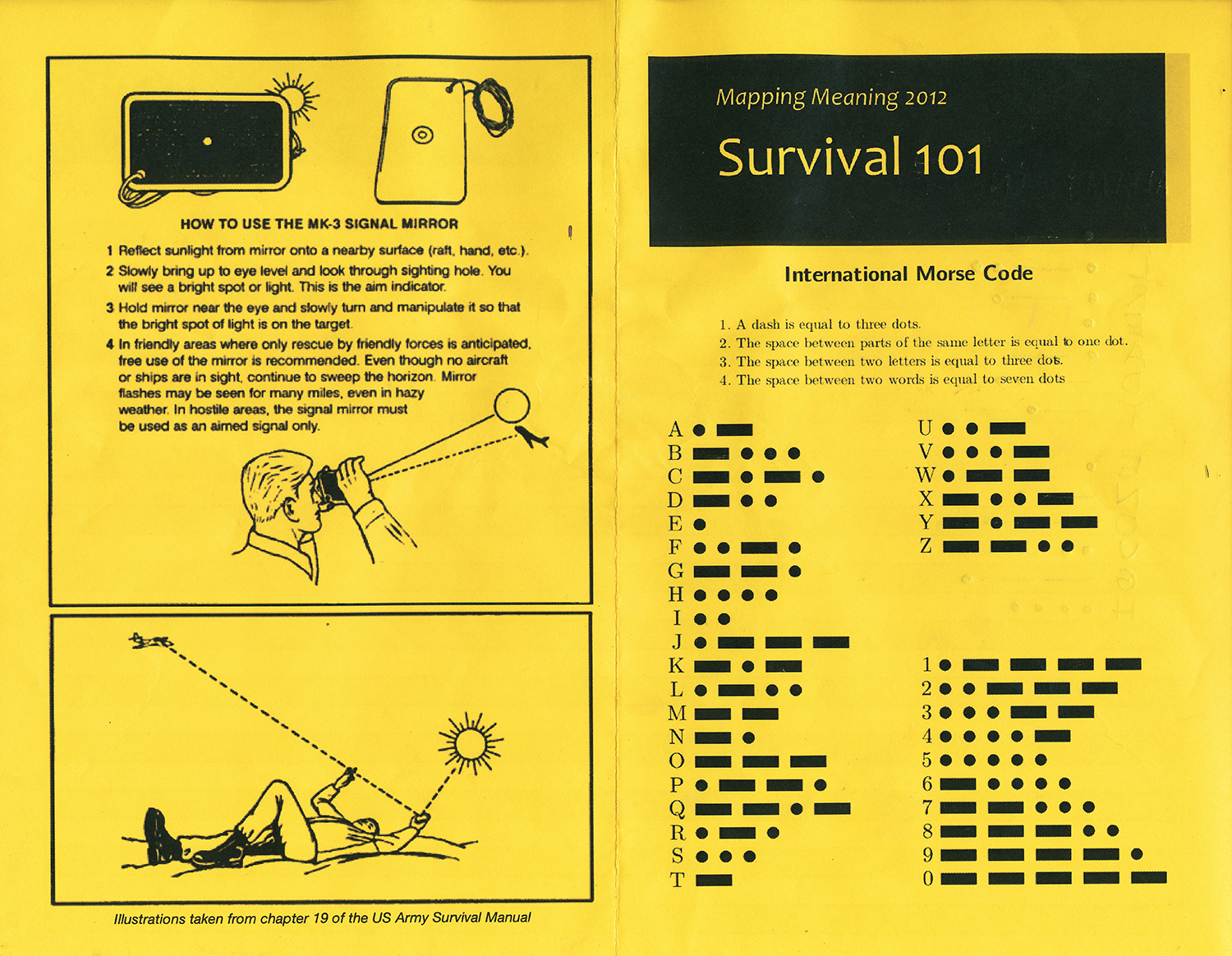
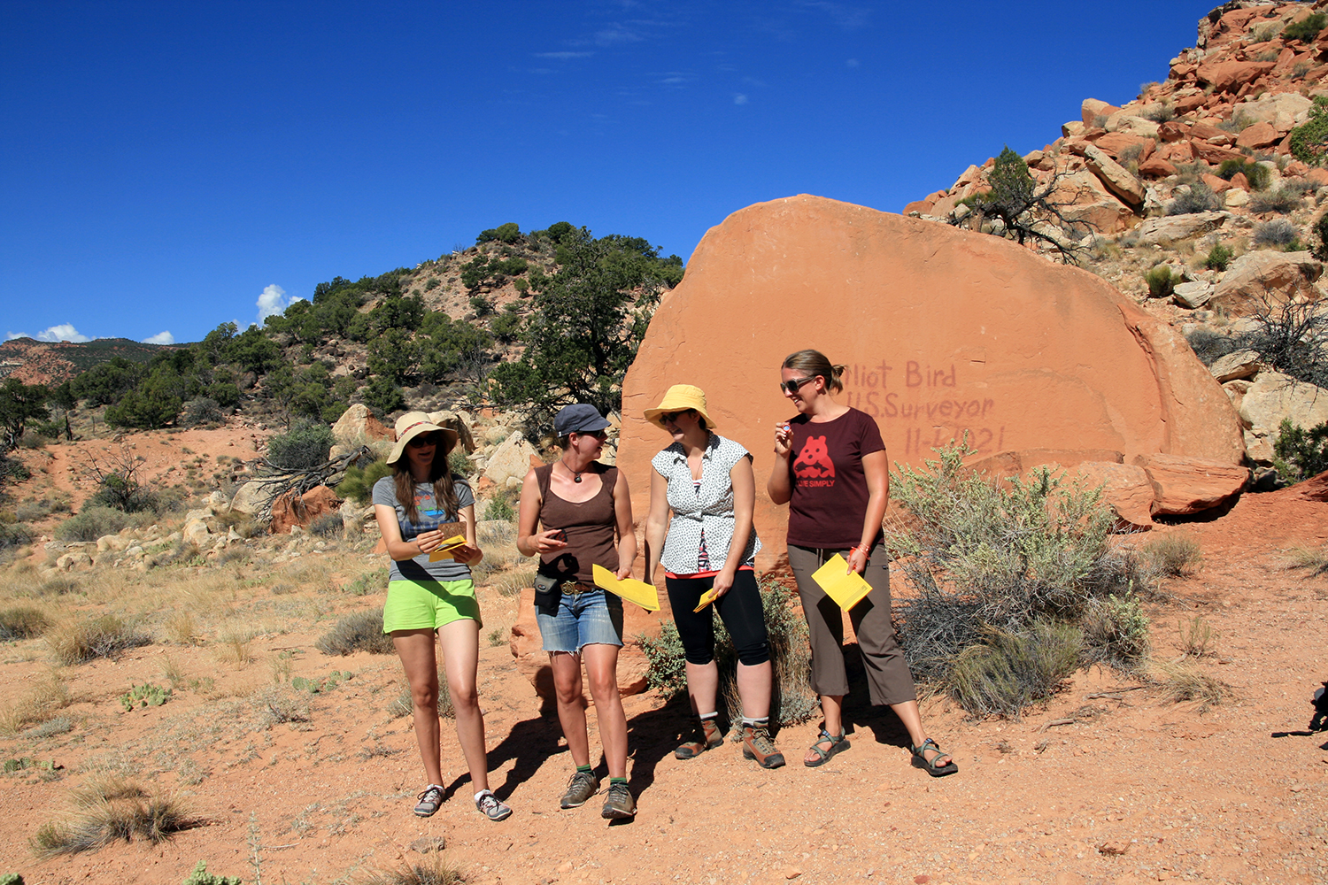
This session took an experimental approach -- exploring through discussion and collaborative action the constant state of emergency we find ourselves negotiating. Participants were introduced to basic signaling techniques as well as emergency Morse Code. Then, through group performance, these mirrors were employed to create our own early warning signals, exploring together ideas around agency, survival, and change.
“Localized ecological systems are known to shift abruptly and irreversibly from one state to another when they are forced across critical thresholds… The plausibility of a planetary-scale ‘tipping point’ highlights the need to improve biological forecasting by detecting early warning signs of critical transitions on global as well as local scales...”
Citation: “Approaching a state shift in Earth’s biosphere.” By Anthony D. Barnosky, et al., Nature, Vol. 486, No. 7402, June 6, 2012.
Lessons from a Nuclear Disaster
On March 11, 2011, a 9.5 magnitude earthquake in the Pacific triggered a tsunami that swept the Eastern coast of Japan. One of the hardest hit areas was the Fukushima prefecture, which contained two nuclear power plants. The plant that was hardest hit was the Fukushima Daiichi plant, which was quickly swamped by towering waves that submerged the base of the plant. This natural event set in motion a nuclear disaster that draws into question the security, engineering, and human elements of implementing and using nuclear technologies in modern society.
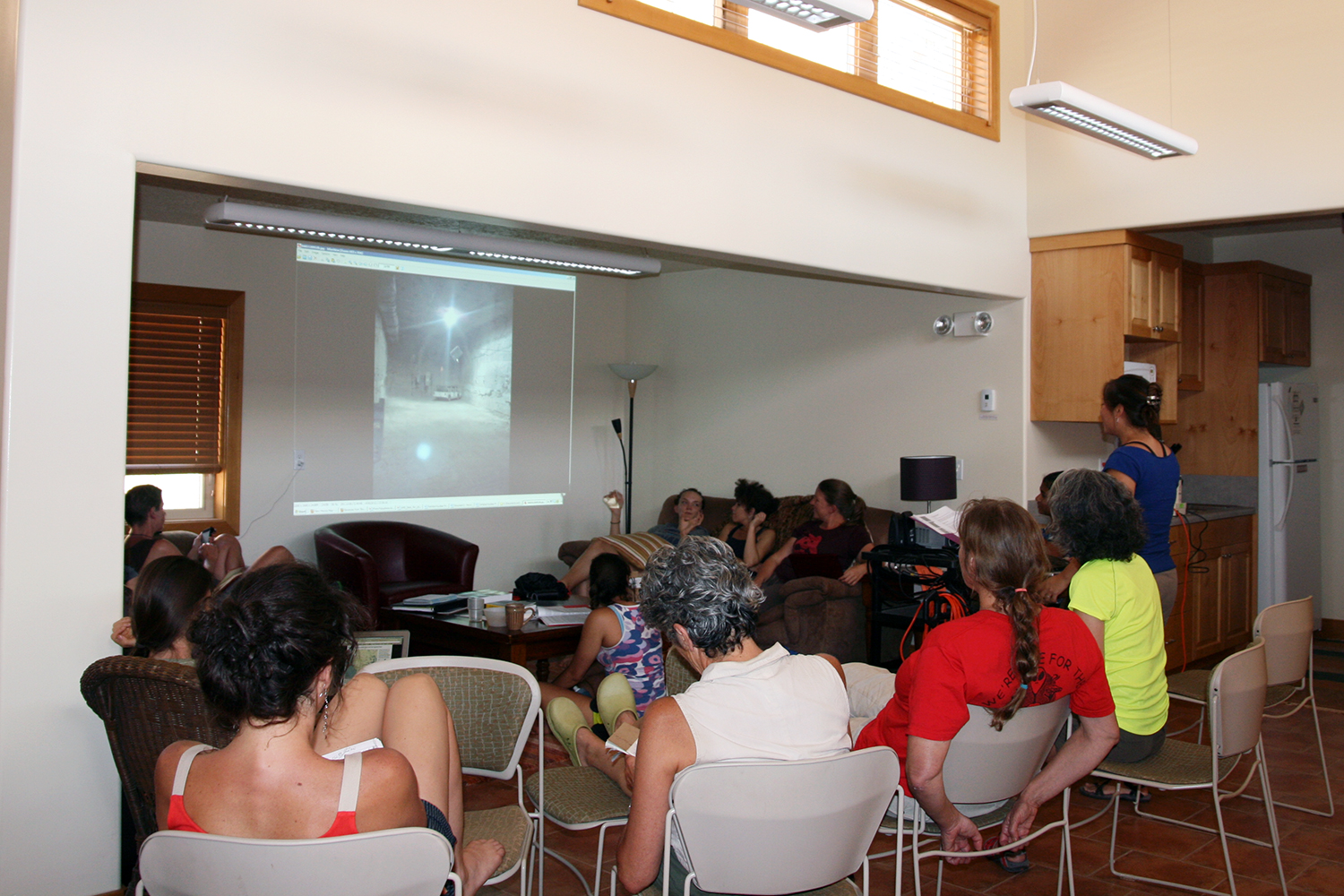
This session will examine the ways that nature and science interacted in the aftermath of the Tohoku earthquake. Responses to Fukushima on several different levels, from industry, government, and the public on local, national, and international levels, reveal the tenuous control over nuclear technologies that exists today. Looking at the solutions devised for containing and tracing the radiation that emitted from the plant, which include elderly scientists willing to sacrifice themselves, and wild monkeys armed with dosimeters, demonstrates how the most high-tech solutions for providing energy can result in the most desperate and low-tech methods. These methods show the primary weaknesses in discourses that make nuclear energy a necessary part of any modern energy supply, and upset rhetorics that call for increased usage of nuclear power. They also draw into question recent efforts in the U.S., specifically in New Mexico, to increase and build new nuclear facilities.
Artistic Expression In Animals & Mapping Natural Ecotones
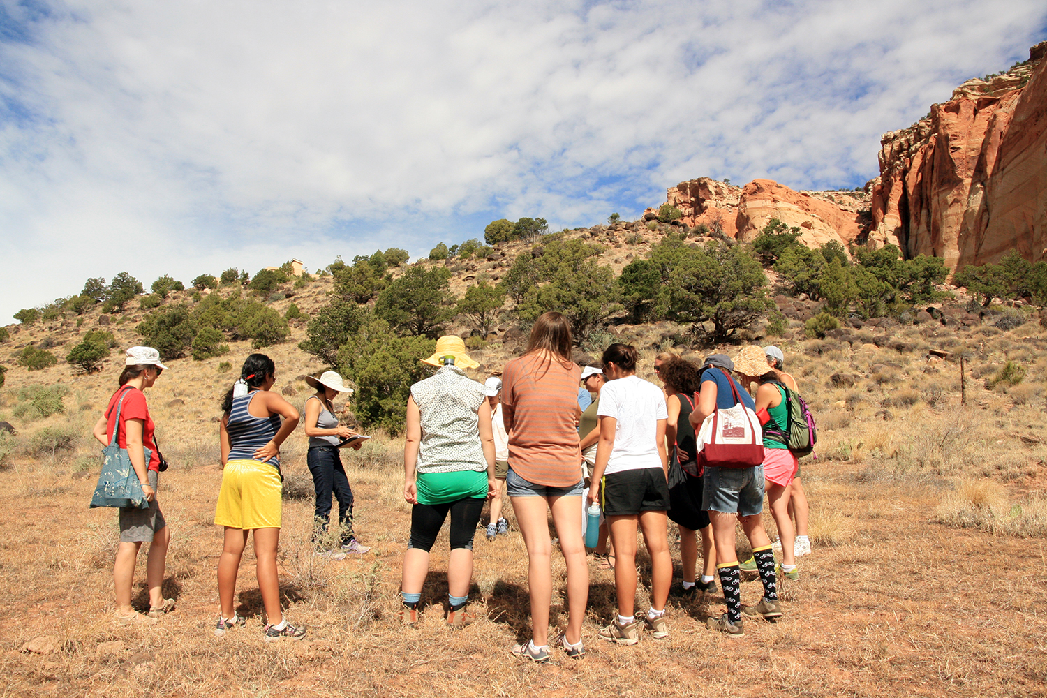
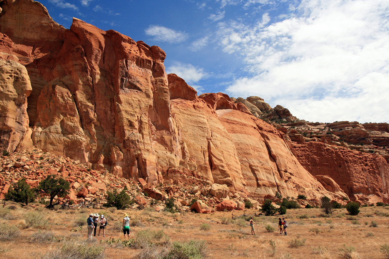
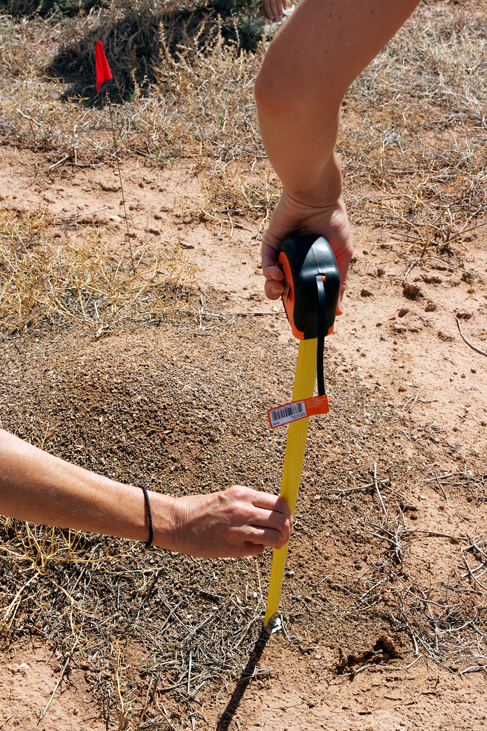
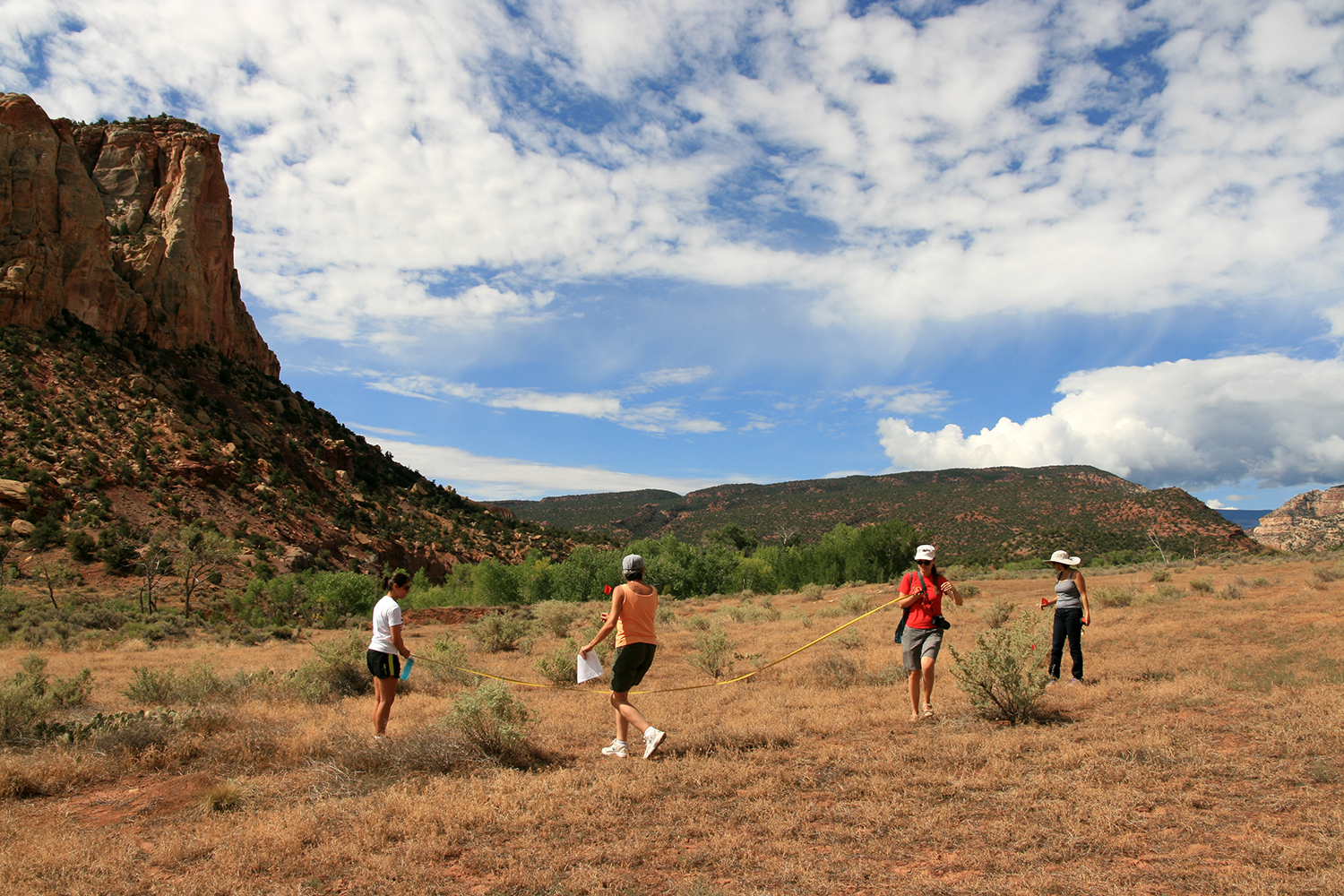
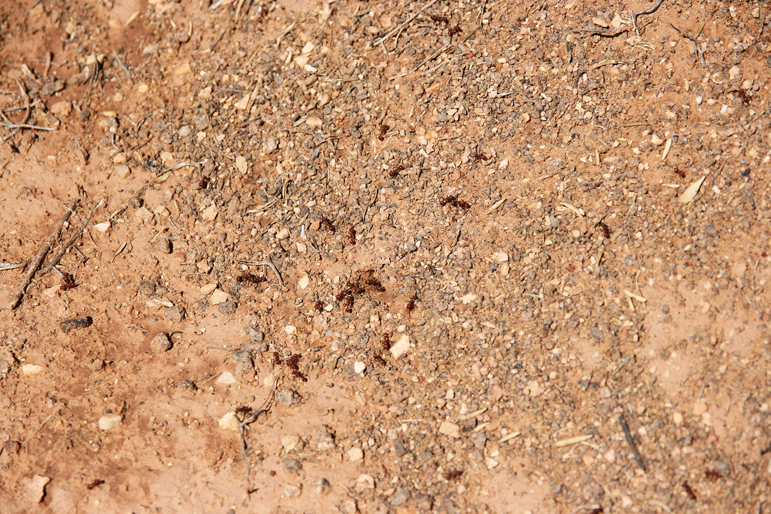
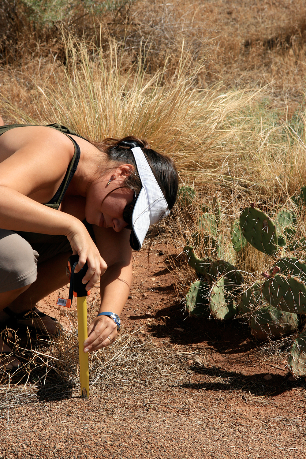
This session was led by Dr. Sylvia Torti (biology) and Dr. Linda Wiener (entomology). Linda began by sharing ideas and visuals about artistic expression in animals, including house building and aesthetics. Her recent work bridges the often taboo subject of “anthropomorphism.” After this discussion, Sylvia provided a context for how ecologists consider ecotone, the theme of the 2012 Mapping Meaning workshop. The entire group then went out to explore, identify, and map the ant homes / ecotones at Capitol Reef National Park.
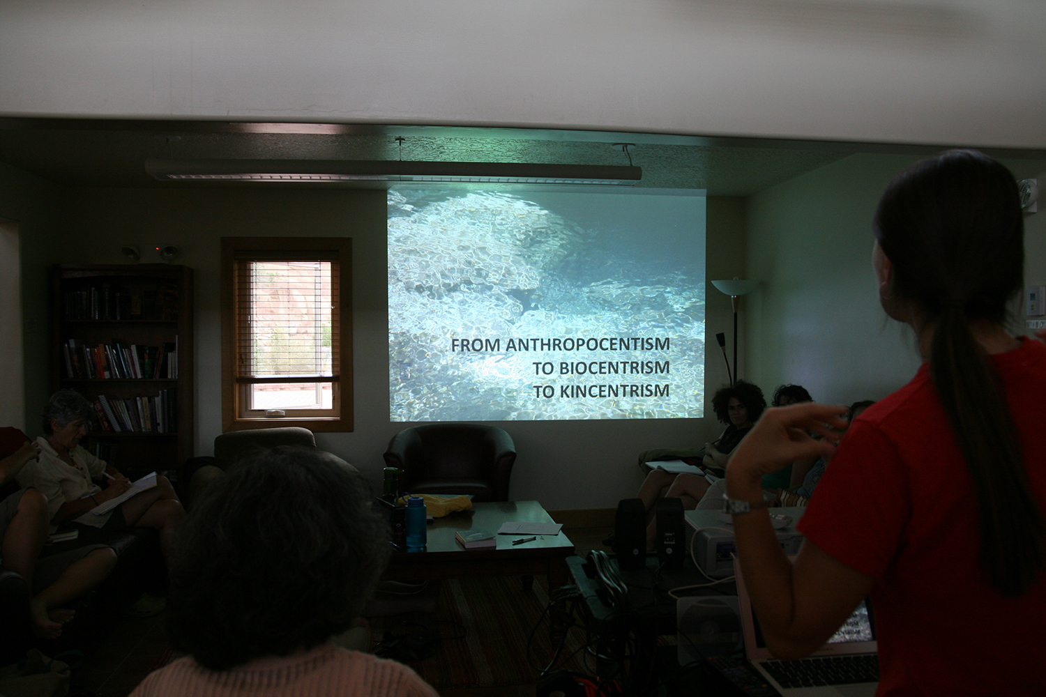
I will provide an overview of an indigenous theoretical framework that I use at the Cultural Conservancy and in my scholarship that is helpful for discussing the nature/culture edge and cultural mixing zones. We will together explore these cultural ecotones as places of creativity and spaces of learning that can expand ecological awareness and help inform environmental decision-making. I will include some exercises and media to help us tune into our bodies and senses and diad work to explore our own edges and fusions.
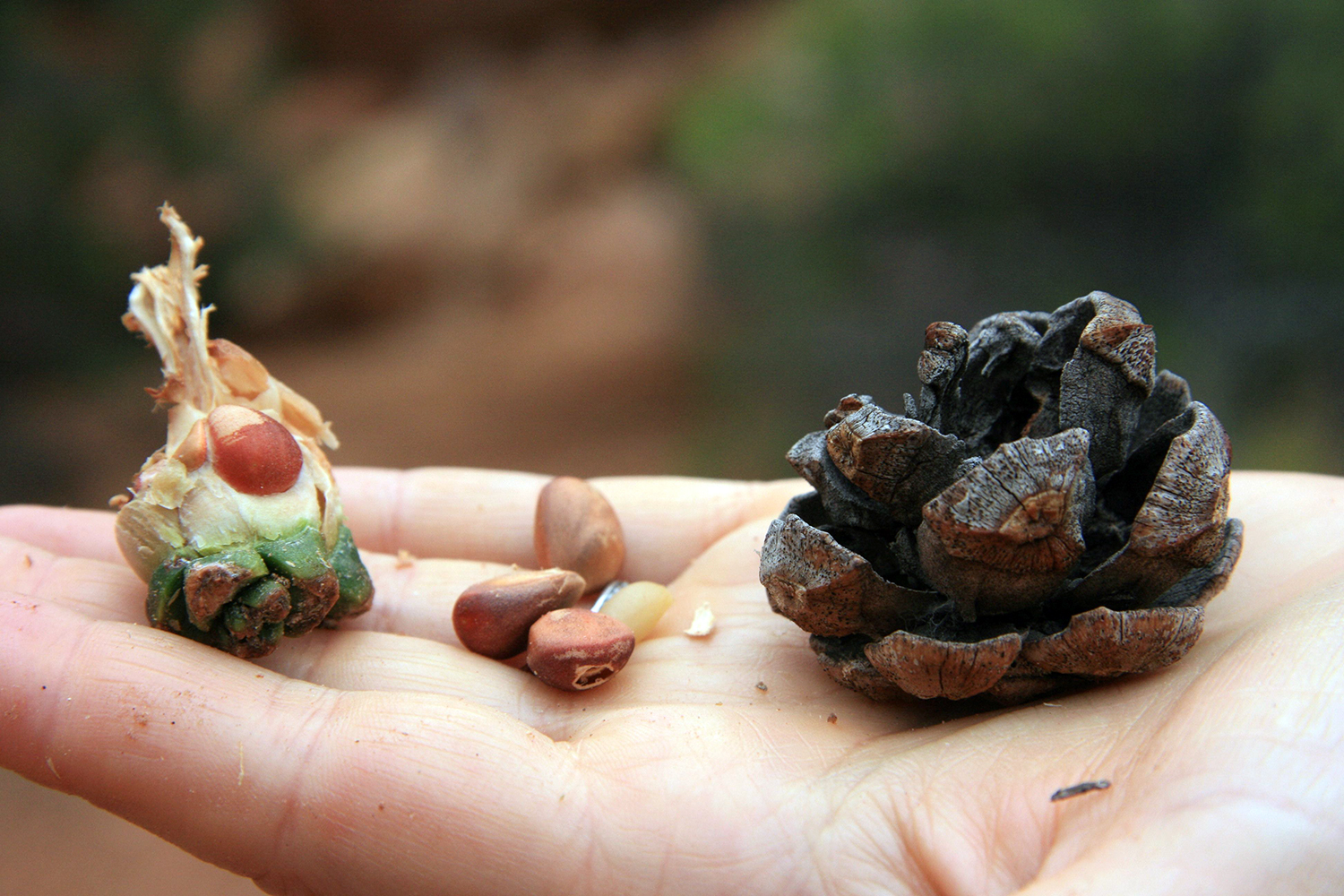
Photo: Melissa K. Nelson
Photo: Vasia Markides
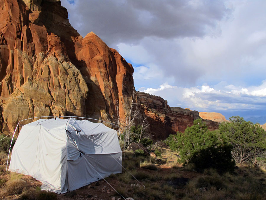
A camera obscura is a lightproof room with a small hole or simple lens on one side that projects the world outside, inside onto the walls of the room. Viewers enter the tent to see the view and participate in that photographic moment. Slightly removed from the outside world, but still a part of it – sounds permeate through the tent walls, there is ground under foot, and the breeze stirs the image projecting on the wall – the setting providing ideal ground to think about technology, representation, and viewing as well as the notions of in between or otherwise, liminal spaces and ecotones.
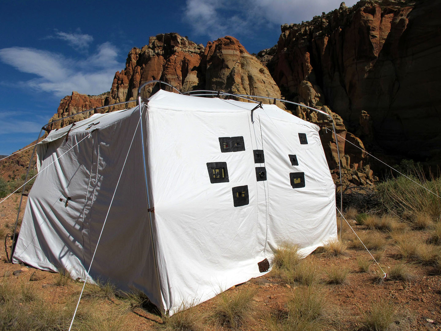
Photo: Trudi Lynn Smith
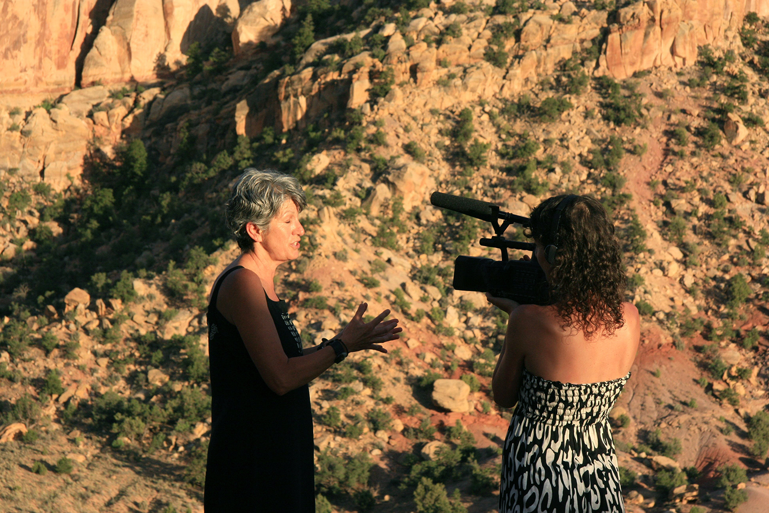
This interdisciplinary project aims to turn the ghost town of Varosha and the surrounding city of Famagusta, Cyprus into a model ecocity. Since 1974 this six square kilometer district has been fenced off from the rest of the island by barbed wire due to conflict. Throughout the week at Mapping Meaning, Vasia will be filming her mother, thus launching the production for her documentary film about Emily’s life and vision.
http://ecocityproject.com/
Photo: Melissa K. Nelson
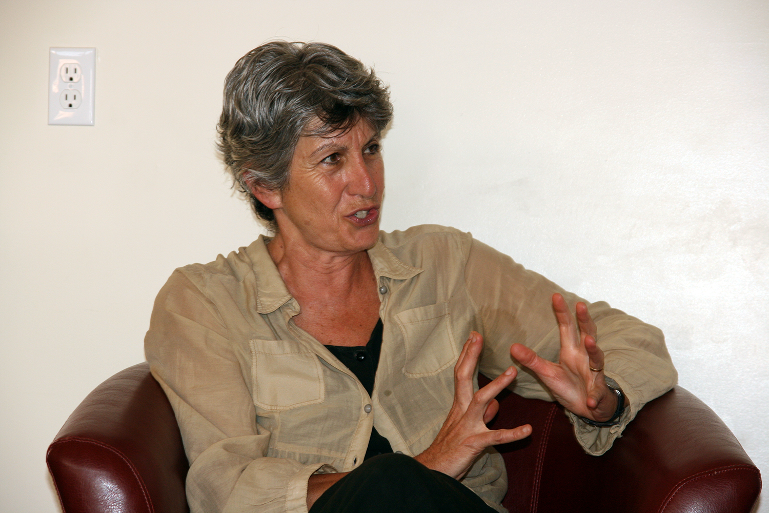
Emily Markides
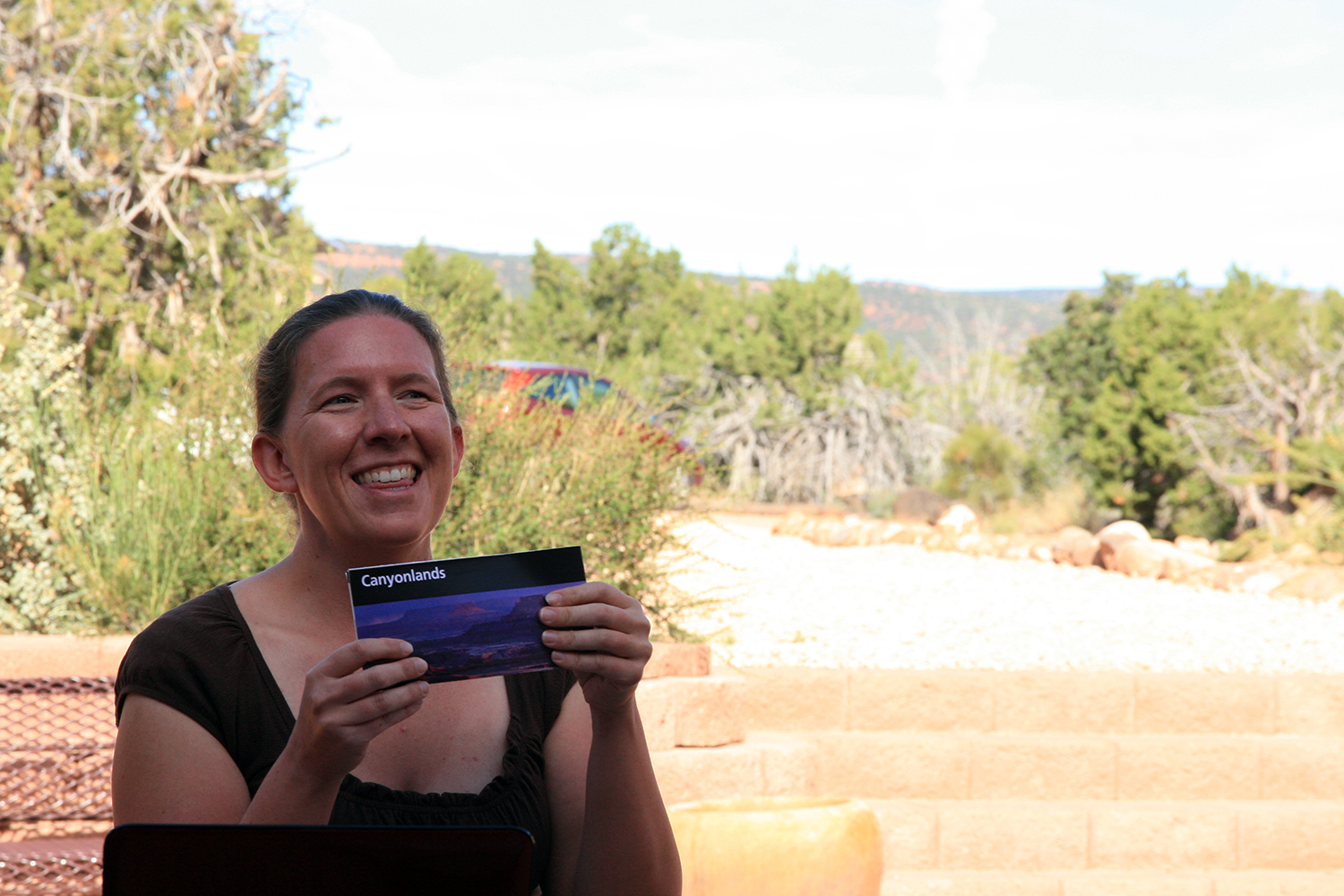
Melanie Armstrong
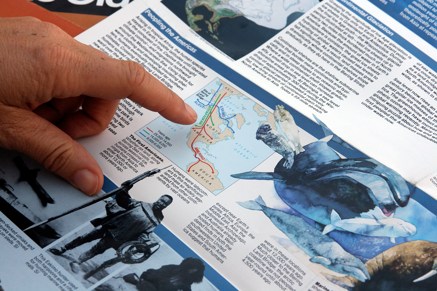
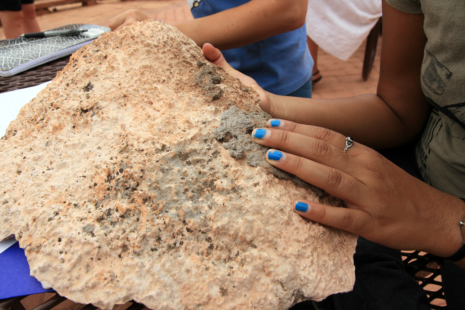
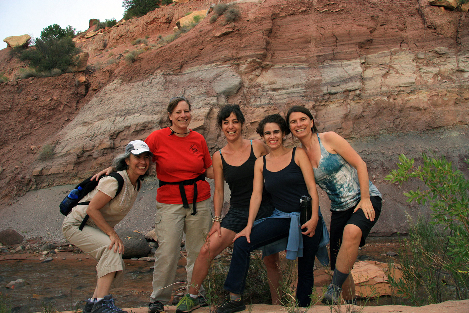
Photo: Melissa K. Nelson
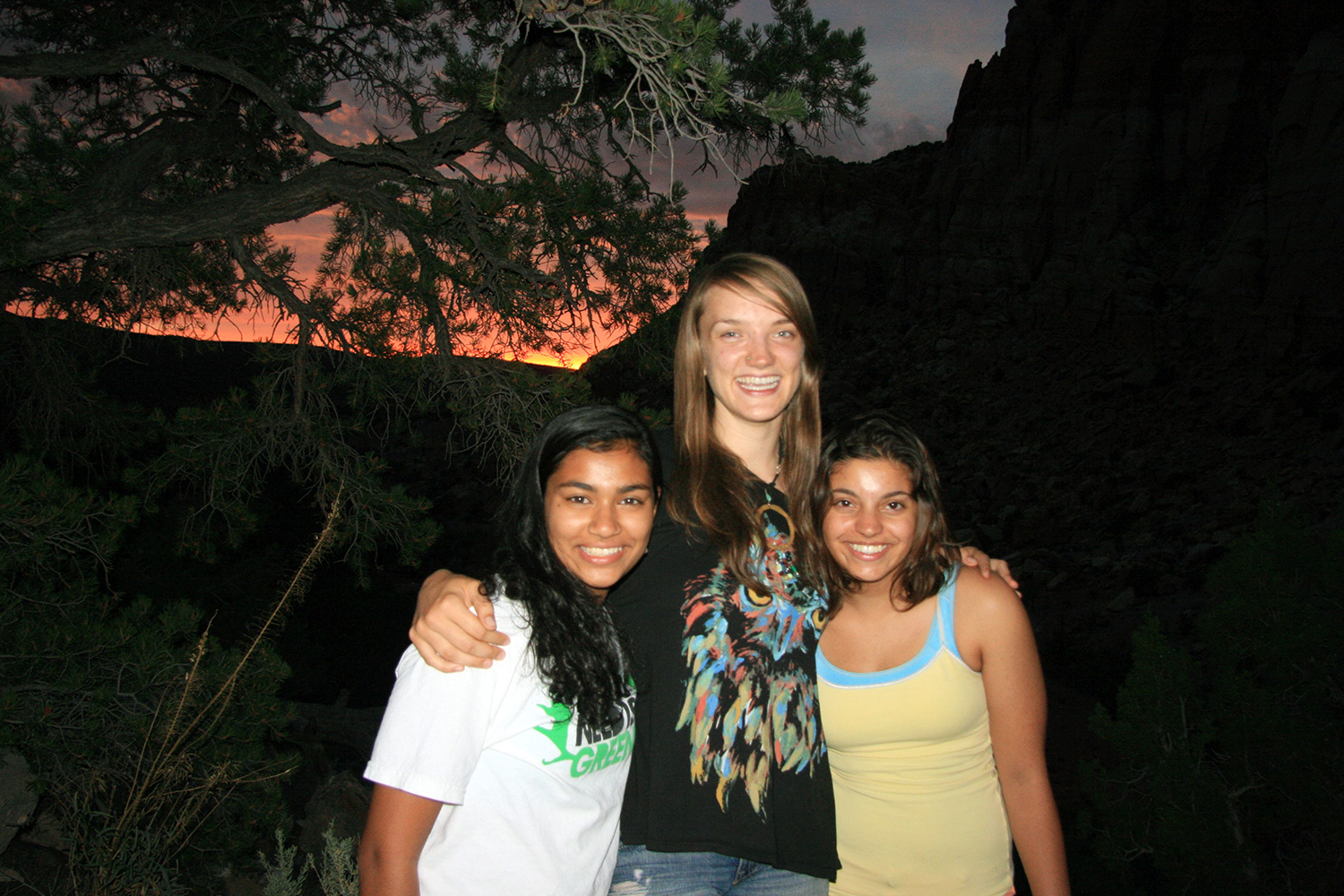
They are amazing!
Photo: Melissa K. Nelson
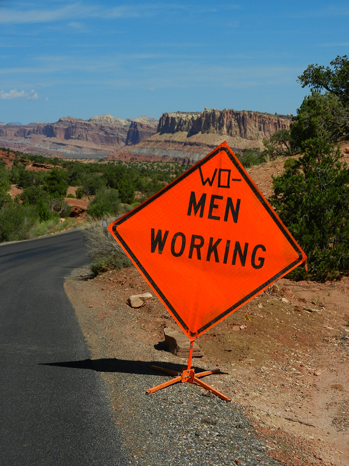
Photo: Vasia Markides
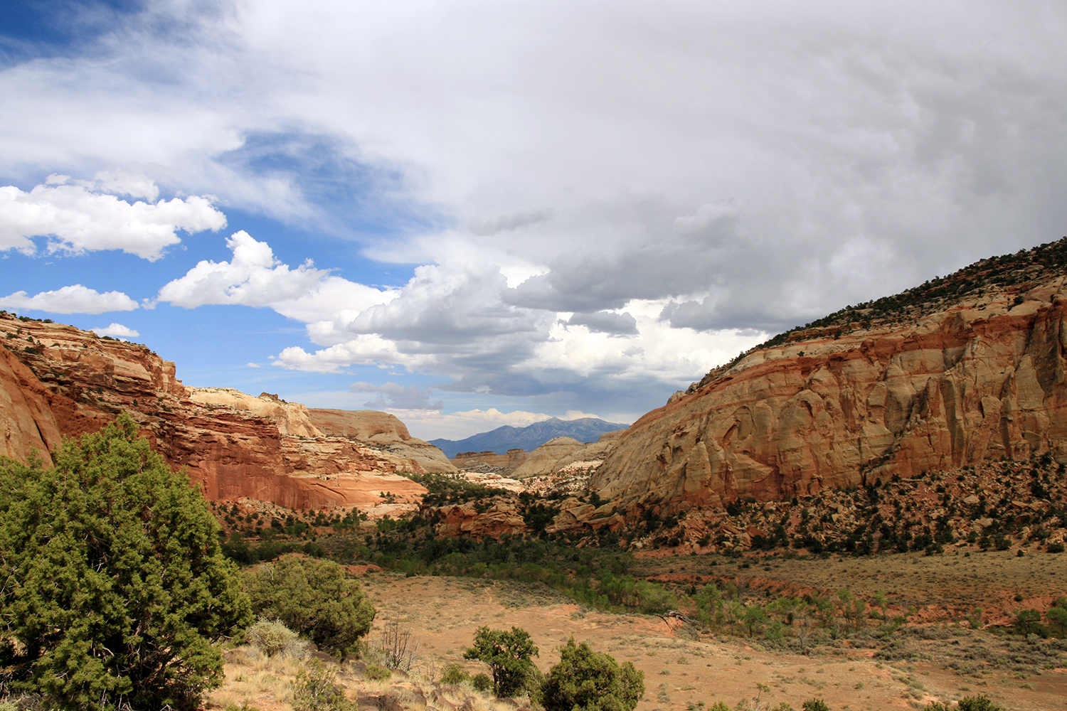


The focus of the 2012 workshop was “ecotone.” Defined as a transitional zone between two adjacent communities, ecotone speaks to ecologies in tension. Mapping Meaning used this theme as a metaphor for considering transitions currently taking place with regard to ecology, technology and culture. Throughout the workshop, a series of questions were posed to the group. These focused on “ecotone as a site of opportunity,” “ecotone as a site of experimentation,” “ecotone as a place of creativity” and “ecotone as a place of emergency.”
"This initiative, Mapping meaning provides ground — productive, deconstructive ground, to argue for the inclusion of diversity, of liminal spaces, of the uncanny, and for new forms of sense and value in protected areas like Capitol Reef National Park. I think a challenge is to maintain a focus on impermanence in art, research, science, and women coming together, to maintain the productive friction of disturbance, as a way to work outside of neoliberal market economies, outside of colonial inscriptions of a site.
I propose that mapping meaning’s ecotone is not just a site of transition but to inhabit an ecotone is to bring together competing forces: The energy of resistance."
Trudi Lynn Smith
from the Mapping Meaning symposium held at Lafayette College
Unless noted in slideshow, photos taken by Krista Caballero
